Mapping Space - Moby Dick Exercise
Using Google Maps + Fusion Tables
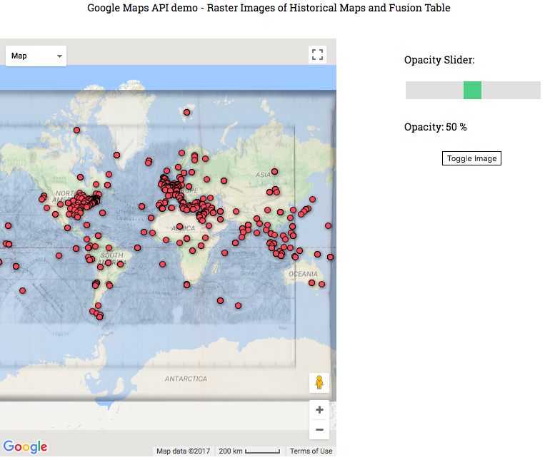
With the demo provided, I began to play around with using Google Fusion Tables and the Moby Dick location data. I found the use of the Google Maps API was cool and easily integrates into many projects. Adding the slider was simple, and the map was pretty robust.
The Fusion Table was a little confusing, and the interface definitely seems like one of the things that hasn’t been worked on too much. I wanted to play around with different data, but wasn’t sure how to approach this yet. I think an easier interface would have reduced that activation barrier.
Finally, I think it would be really interesting to look at data at a smaller scale, like at the city or street scale. I think it would be more impactful, especially for architecture. I think this would be really useful for our final project, looking at data related to rising water levels in Boston.